Off-market land, screened to your buy box.
Mireye screens the parcel roll, cites every value, and keeps utility studies and field checks explicit.
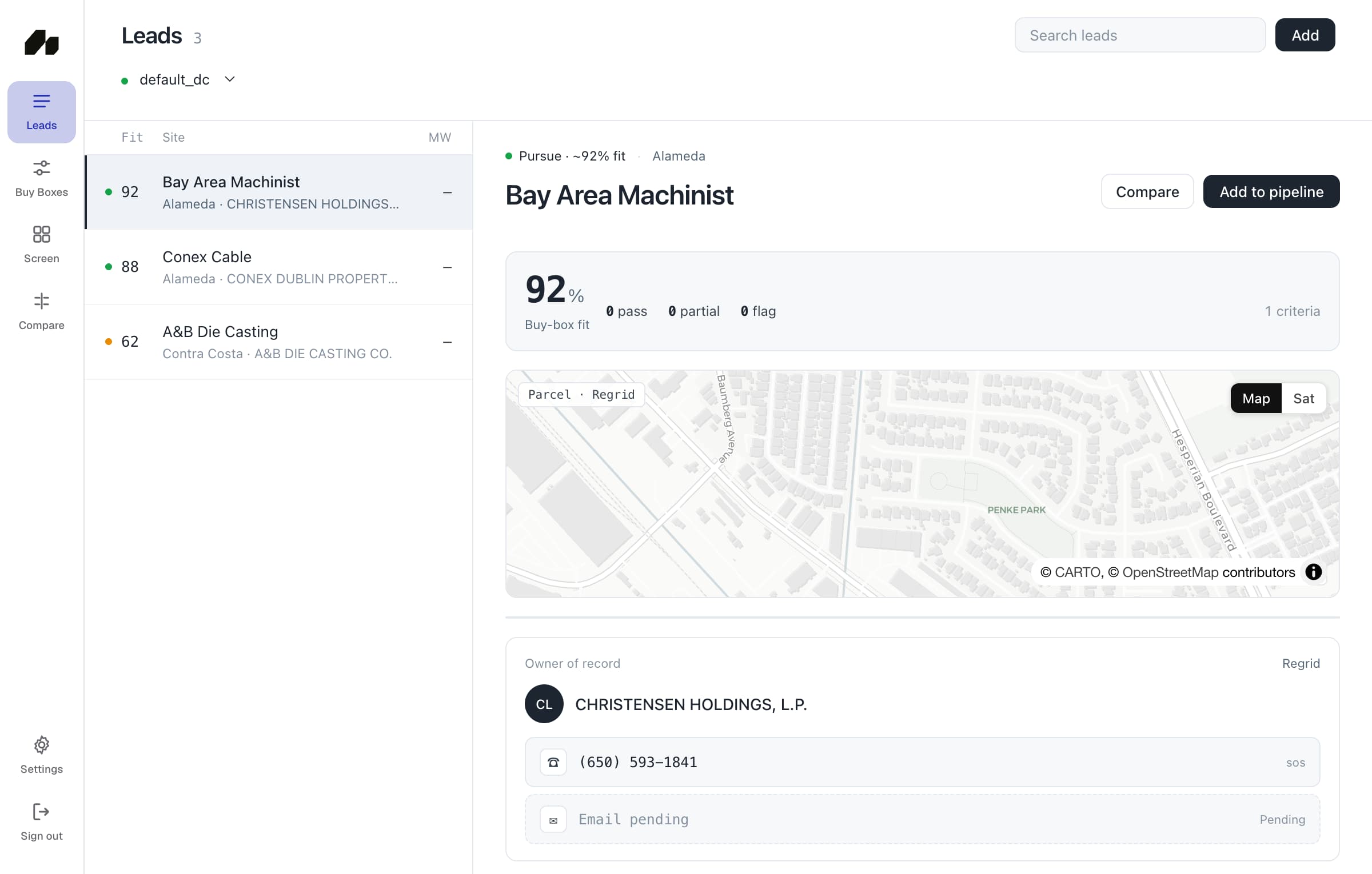
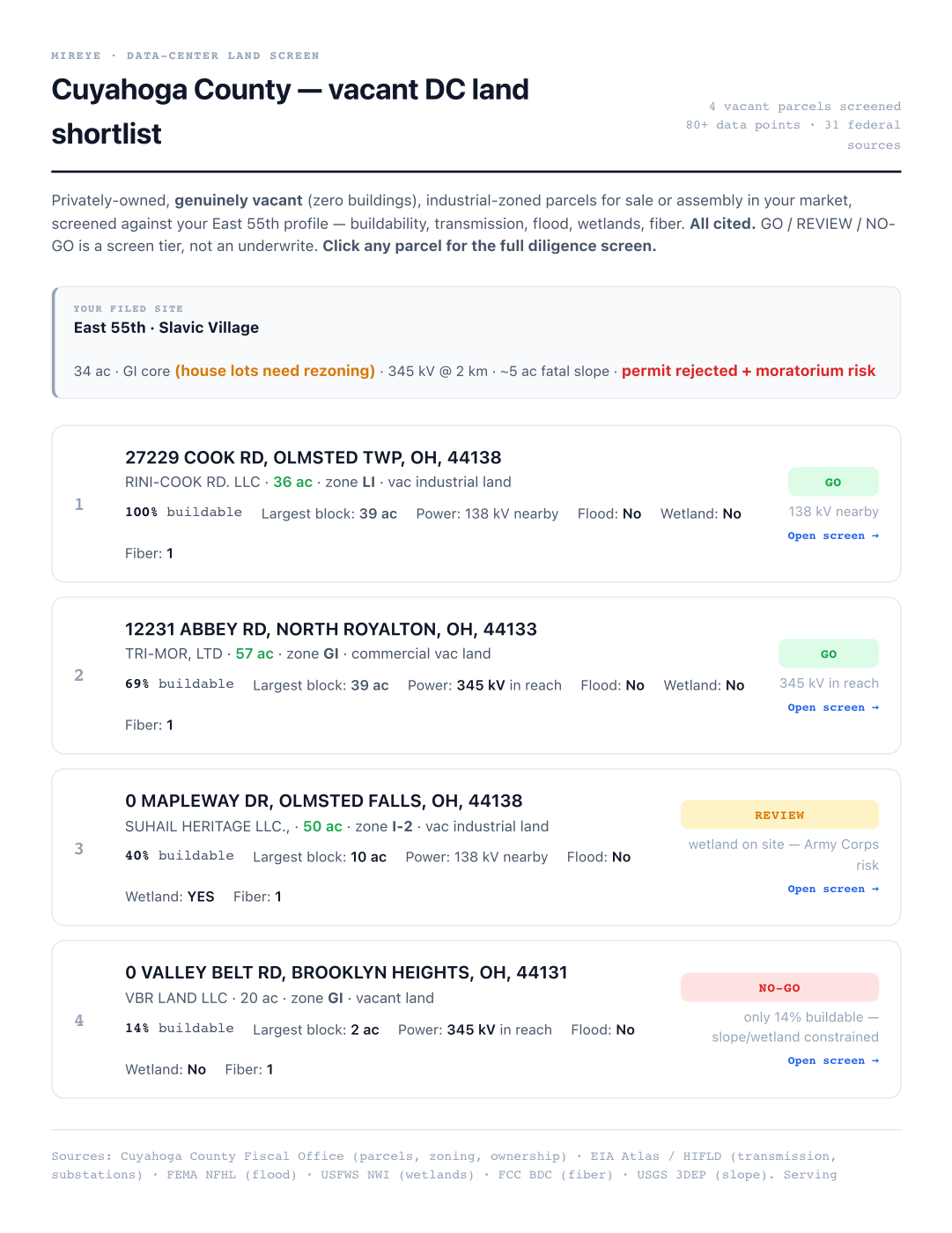
Test parcel, brownfield, and retired-power-station candidates against the hard gates and preferences in your buy box.
A screen tier, not an underwrite.
GO / REVIEW / NO-GO prioritizes diligence. It does not replace interconnection, title, Phase I/II, or fieldwork.

Power, flood, wetland, slope, soils, fiber, hazards, zoning, queue depth, and utilities point back to the record used.
- 300+
- typed, cited fields
- 85
- authoritative sources
- 190k+
- brownfield sites indexed
- 5.6 sec
- 63,357-parcel live run
Worth a call. Utility study required.
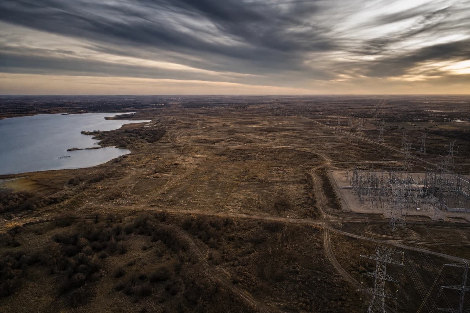
Falcon Development LLC controls roughly 851 acres across four parcels. A 345 kV substation sits 0.54 miles away and gas is effectively on site. The 1,000 MW band is an estimate—not utility-confirmed available capacity.
Verified finding
Former power-station site in ERCOT, 4,600 MW active in the county queue, a gas pipeline 135 metres away, and 10 housing units within one kilometre.
Confirm before pursuit
Confirm available load with the utility, verify the buildable footprint outside FEMA Zone A, account for SO₂ nonattainment, and confirm fiber with providers.
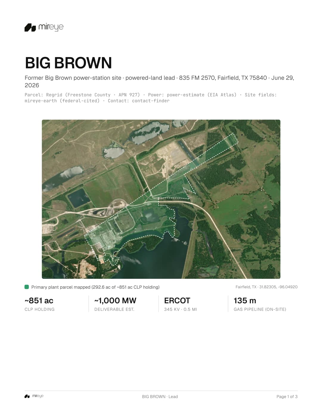
- ~851 ac
- controlled land
- ~1,000 MW
- labeled estimate
- 345 kV
- 0.5 mi away
- 135 m
- gas pipeline
Open the documents.
Four demo-safe documents with sources, verdicts, measured values, and confirm-by-call items left intact.
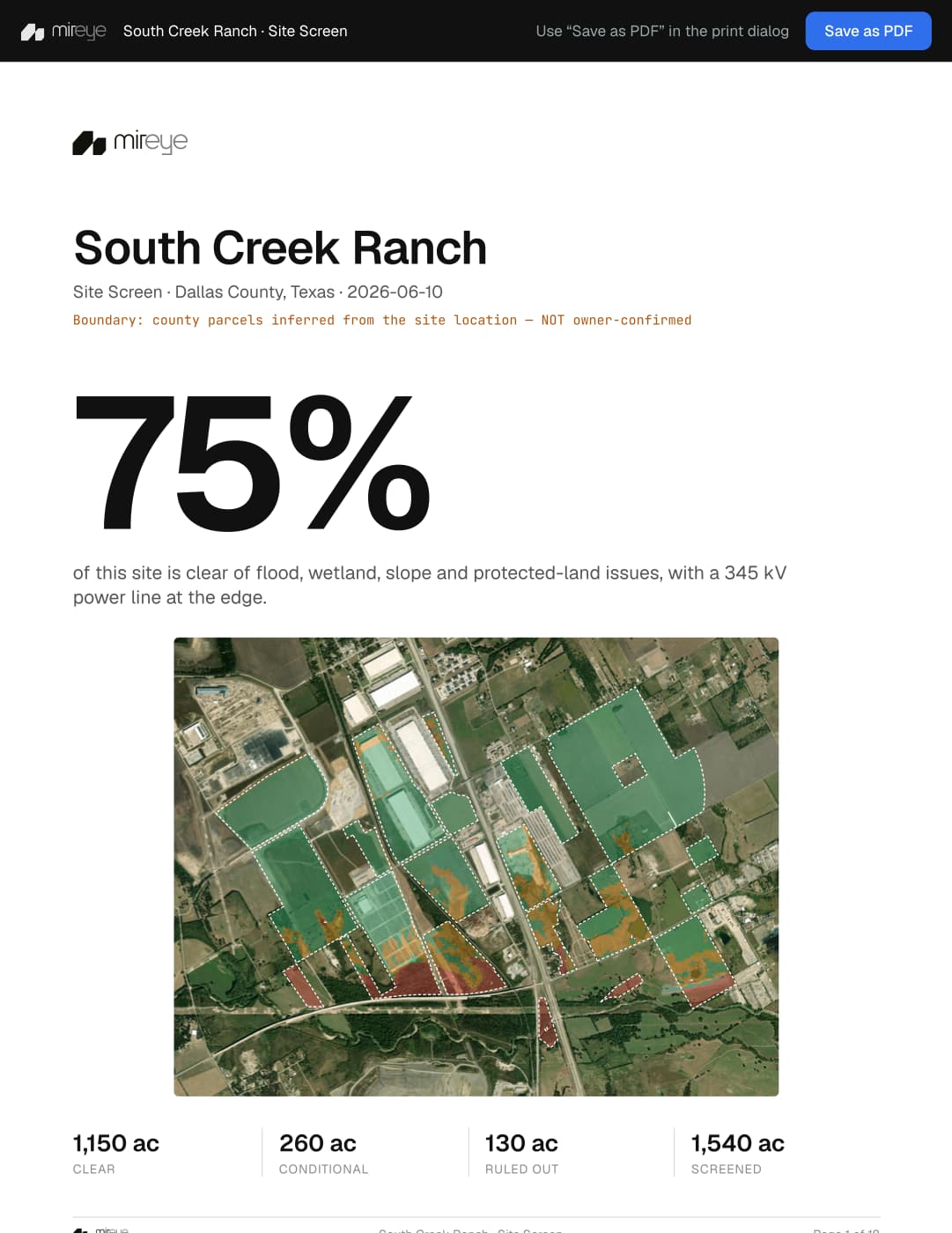
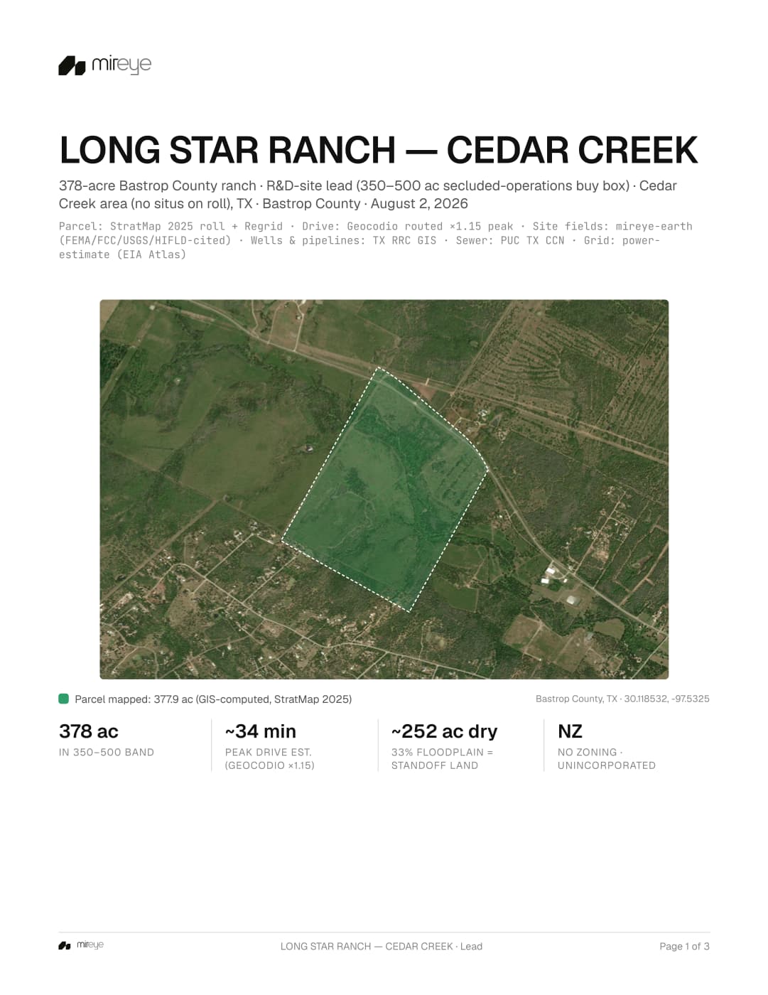
From parcel roll to owner contact.
Each lead keeps the screen, source record, open checks, and ownership result together.
- 01
Find
Apply hard gates and preferences to the parcel roll and off-market site signals.
- 02
Diligence
Screen power, land, environmental, utility, and market constraints with sources attached.
- 03
Research
Research the county context structured datasets miss — moratoria, votes, opposition, competing projects — with a source URL on every claim.
- 04
Contact
Trace the holding company to the principal the acquisition team can call.
Every value cited
Mireye is not affiliated with or endorsed by any federal agency. Source names identify the origin of data.
Bring one buy box or one parcel.
We will run it live and show the sources, open checks, and owner record.