

Ask one question. The Agent does the research.
It plans the work, runs Search, Enrich, Proximity and Permits for you, and writes up what it found. The Agent itself is free.
Three ways to use it.
Use it wherever you work.
API
From your code
Send a question. Get the write-up back.
Find the five best 40-acre sites in Ellis County
- What comes back
- The analysis and its tables.
- Price
- Free
In MCP
From your AI tool
Ask inside Claude, ChatGPT or Cursor.
Who owns this parcel, and what else do they own?
- What comes back
- The research, right in your chat.
- Price
- Free
App
In the Mireye app
Ask in a chat window. Results show as a table.
Rank these 29 sites by distance to a substation
- What comes back
- A write-up, and a table you can sort and download.
- Price
- Free
How it works
- Ask
- It runs the research
- Ask a follow-up
What you get back.
A written analysis, the tables behind it and its sources.
Research, not a lookup.
It chains searches, lookups and distances, then writes up what it found.
“I don’t know” when it doesn’t.
If no record has it, the Agent says so.
Every value has its source.
The agency, the date we read it and a link to the record.
What an answer holds.
Every answer has the same parts.
- Analysis
- Three sites stand out. Parcel 0412 is closest to the substation and outside the flood zone.
- Steps it ran
- 1 search · 38 lookups
- Table
- 38 rows · parcel, owner, flood, distance
- Download
- CSV or JSON
- Follow-up
- “Only the ones over 60 acres”
- Price
- Free. You pay only for the data calls.
What you can ask.
From one fact to a full site study.
One place
- Who owns 853 Commodore Dr?
- Is this lot in a flood zone?
- What is this parcel zoned for?
Many places
- Vacant land over 20 acres
- Parcels near a 345 kV line
- Homes with a new roof permit
Compare and rank
- Which is closest to a substation?
- Which are outside the flood zone?
- Compare these two parcels
Full research
- Find the five best sites and say why
- What else does this owner hold?
- Who is building the most here?
One question. It does the rest.
You write one sentence. The Agent does the work of an analyst.
- Plans
- Works out the steps your question needs.
- Runs
- Search, Enrich, Proximity and Permits, as many calls as it takes.
- Writes
- A clear answer, with its tables and sources.
39 calls · one answer
One search, then a lookup on every match, written up for you.
The Agent is free. You pay only for the Search, Enrich, Proximity and Permits calls it runs.
What people use it for.
From one fact to a full site study.
Site selection
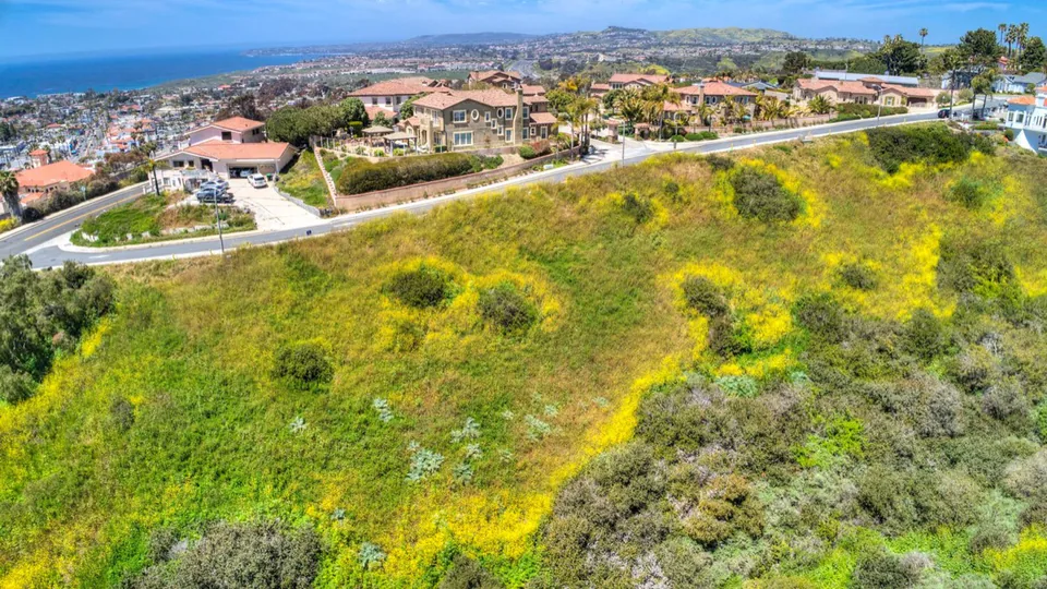
Find the five best 40-acre sites in Ellis County and say why
5 sites, ranked, with reasonsEllis CAD (source, opens in a new tab)EIA (source, opens in a new tab)
Owner research
Who owns this gas station, and what else do they own?
The owner and 6 other propertiesCounty (source, opens in a new tab)
Lead lists
Homes in Travis County with a new roof permit
1,380 homes, with ownersTravis County (source, opens in a new tab)City of Austin (source, opens in a new tab)
Lending and insurance
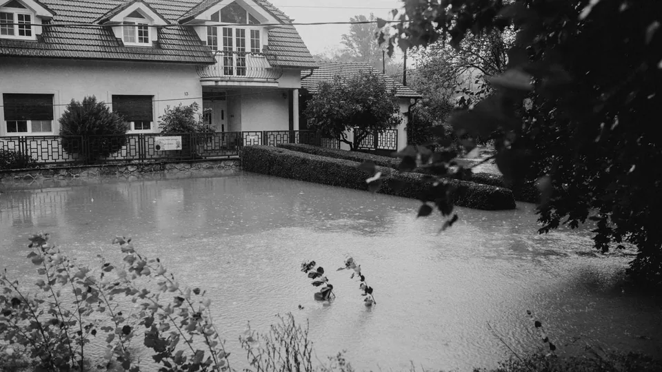
Which of these 200 homes are in a flood zone?
31 of 200FEMA (source, opens in a new tab)
Energy
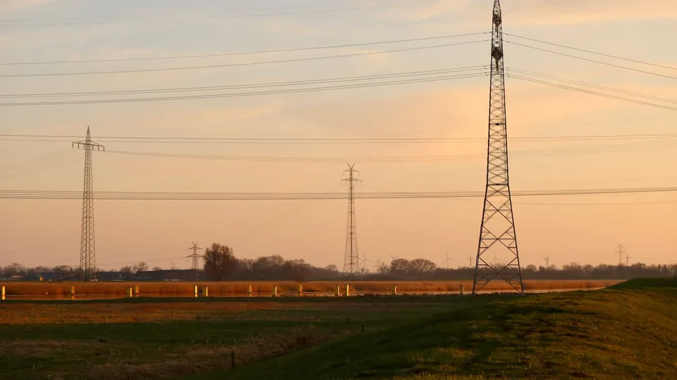
Which of these sites is closest to a substation?
29 sites, closest firstEIA (source, opens in a new tab)
Your own assistant
Is 4100 Commerce Dr in a flood zone?
Yes, on 30% of the lotFEMA (source, opens in a new tab)


Call it from your agent.
Send the question as one message. The answer comes back with the tables behind it.
curl https://api.mireye.com/v1/agent \
  -H "X-API-Key: $MIREYE_API_TOKEN" \
  -H "Content-Type: application/json" \
  -d '{
    "message": "Vacant parcels over 20 acres in Travis County, TX, and their owners."
  }'
const response = await fetch("https://api.mireye.com/v1/agent", {
method: "POST",
headers: {
"X-API-Key": process.env.MIREYE_API_TOKEN,
"Content-Type": "application/json",
},
body: JSON.stringify({
message:
"Vacant parcels over 20 acres in Travis County, TX, and their owners.",
}),
});
const { answer, results } = await response.json();# Add Mireye to Claude Code, then sign in
claude mcp add --transport http --scope user \
mireye-earth https://api.mireye.com/mcp
claude mcp login mireye-earth
# Then ask in plain words
> Vacant parcels over 20 acres in Travis County, TX, and their owners.{
"conversation_id": "conv_7c41e0",
"turn_id": "t1",
"status": "complete",
"answer": "Found 40 vacant parcels over 20 acres in Travis County.",
"results": [
{
"title": "Vacant parcels over 20 acres, Travis County",
"row_count": 40,
"columns": ["address", "owner"],
"csv_url": "https://api.mireye.com/v1/results/r1.csv"
}
],
"cost_usd": "0.20"
}It searches everything we have.
The same data as Search, Enrich, Proximity and Permits.

“160m+ parcels behind one agent beats tabbing through county record sites.”
- US parcels
- 160M+
- Facts about each place
- 600+
- Building permits
- 50M+