

Find every place that matches.
Describe the land in plain words. Get every parcel that fits, with its owner.
What you get back.
Every parcel that fits, out of 160M+ across the US.
Say it in plain words.
Your agent turns the words into filters. There is nothing to learn.
Every parcel that fits.
The full list across the area, with the facts you ask for on each.
Every value has its source.
The agency, the date we read it and a link to the record.
What people use it for.
Plan networks, choose sites and build lead lists, from one search.
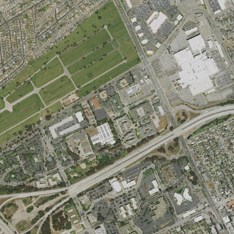
Network planning
Which homes on this street have no fiber?
14 of 22 addressesFCC (source, opens in a new tab)
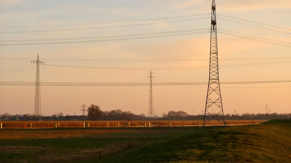
Site selection
40+ acres near a power line in Adams County, CO
61 parcels, each with its nearest lineAdams County (source, opens in a new tab)EIA (source, opens in a new tab)
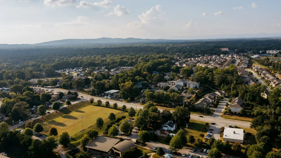
Location-based lead lists
Industrial buildings in Dallas over 50,000 sq ft
212 buildings, each with its ownerDallas CAD (source, opens in a new tab)
Call it from your agent.
Your agent turns plain words into filters. Send them and get every parcel that fits.
curl https://api.mireye.com/v1/search \
  -H "X-API-Key: $MIREYE_API_TOKEN" \
  -H "Content-Type: application/json" \
  -d '{
    "filters": [
      { "field": "state2", "op": "eq", "value": "TX" },
      { "field": "county", "op": "eq", "value": "Ellis" },
      { "field": "gisacre", "op": "gte", "value": 200 }
    ],
    "fields": ["owner", "zoning"],
    "limit": 2
  }'
const response = await fetch("https://api.mireye.com/v1/search", {
method: "POST",
headers: {
"X-API-Key": process.env.MIREYE_API_TOKEN,
"Content-Type": "application/json",
},
body: JSON.stringify({
filters: [
{ field: "state2", op: "eq", value: "TX" },
{ field: "county", op: "eq", value: "Ellis" },
{ field: "gisacre", op: "gte", value: 200 },
],
fields: ["owner", "zoning"],
limit: 2,
}),
});
const { matches, next_cursor } = await response.json();# Add Mireye to Claude Code, then sign in
claude mcp add --transport http --scope user \
mireye-earth https://api.mireye.com/mcp
claude mcp login mireye-earth
# Then ask in plain words
> Find land over 200 acres near Waxahachie, TX.{
"matches": [
{
"parcelnumb": "99-4044-000-044",
"county": "Ellis",
"state2": "TX",
"source": "PARCEL_VENDOR",
"fields": {
"gisacre": 2366.6,
"owner": "WAXAHACHIE BOTTOM LAND CO",
"zoning": null
}
},
{
"parcelnumb": "99-4042-000-042",
"county": "Ellis",
"state2": "TX",
"source": "PARCEL_VENDOR",
"fields": {
"gisacre": 2283.3,
"owner": "FM 660 LP",
"zoning": "PD"
}
}
],
"next_cursor": "eyJ2IjoxLCJrIjoi...",
"billing": { "charged_usd": "0.200000" }
}How it compares.
Mireye Search beside the parcel search tools land and site teams use today.
 MireyeSearch | ReonomyProperty search | AcresPro plan | |
|---|---|---|---|
| Price | $0.20 per page of up to 100 results | Not published monthly or annual plan | $94.99 a month, billed yearly |
| Coverage | 160M+ US parcels | 54M+ commercial properties | 150M+ parcels |
| Search on | 600+ facts | 200+ filters | Acreage, owner area and more |
| Sources cited | Yeson every result | Not stated | Not stated |
| Delivery | API, MCP one call | App, API and CSV files | App with CSV and PDF exports |
| Speed | Seconds for the whole list | Not published | Not published |
Vendor details from their public pages, Nov 2026; to be confirmed. A dash means their pages do not say. Sources: Reonomy, Acres.
Site search as one tool call.
A builder of agent tooling, on Mireye Search.

“Exposing parcel datasets directly via MCP turns site search into a clean agent tool call rather than custom scraping pipelines.”
- US parcels searched
- 160M+
- Facts to search on
- 600+
- Sources
- 100+